Traveling through Maine 200 Years Ago
2020, Maine State Museum
The 1815 map presents Treat’s and Neptune’s canoe journey through Maine. Using Vue.js and Leaflet.js we geolocated markers on the map to delineate the route and to provide users access to Treat’s journal. The visitor is introduced to the activity in the text to the left.
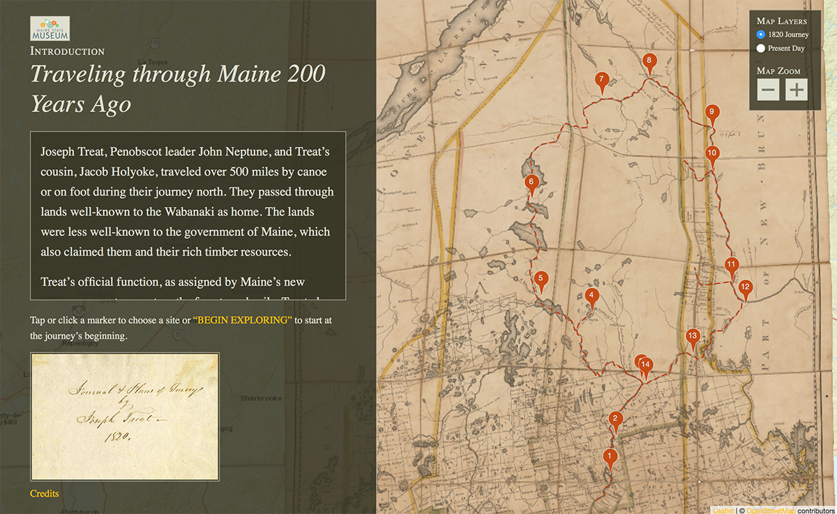
A Site Along the Journey
Tapping a marker zooms in and centers the map on that site and shows a brief description of the site. Visitors can choose to navigate sequentially through the journey or use the map to tap any marker. At each site, visitors can delve into Treat’s journal entry that describes the location in sketches and prose.
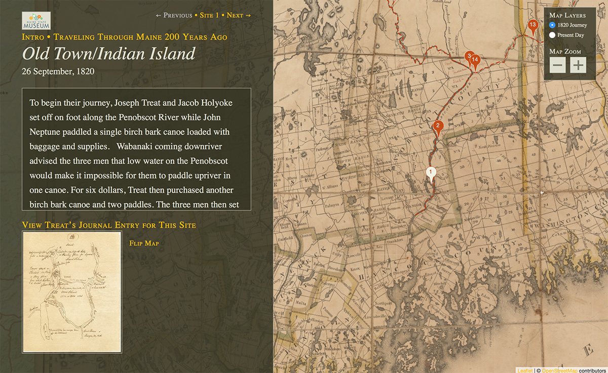
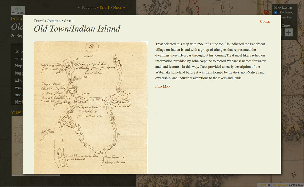
Treat’s Journal Sketch for This Site
In his journal Treat sketched detailed maps showing not only the condition of the river and land but also noting houses and settlements.
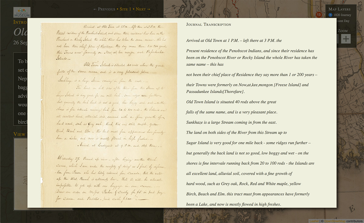
Treat’s Journal Entry for This Site
The visitor can read Treat’s written description of each site either in facsimile or transcribed text.